In Stock
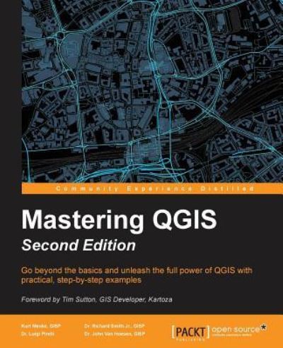
Mastering QGIS - Second Edition
Paperback
€63.79
Collect 191 Reward Points
- Free Delivery from
- This Book Is Available Online Only
- Book Synopsis
- Go beyond the basics and unleash the full power of QGIS with practical, step-by-step examplesAbout This BookThis book is your one-stop solution to all of your GIS needs using the open source QGISMaster QGIS by learning about database integration, geoprocessing tools, Python scripts, advanced cartography, and custom pluginsThis example-rich, practical guide will help you create sophisticated analyses and mapsWho This Book Is ForIf you are a GIS professional, a consultant, a student, or perhaps a fast learner who wants to go beyond the basics of QGIS, then this book is for you. It will prepare you to realize the full potential of QGIS.What You Will LearnCreate and manage a spatial databaseGet to know advanced techniques to style GIS dataPrepare both vector and raster data for processingAdd heat maps, live layer effects, and labels to your mapsMaster LAStools and GRASS integration with the Processing ToolboxEdit and repair topological data errorsAutomate workflows with batch processing and the QGIS Graphical ModelerIntegrate Python scripting into your data processing workflowsDevelop your own QGIS pluginIn DetailQGIS is an open source solution to GIS. It is widely used by GIS professionals all over the world. It is the leading alternative to the proprietary GIS software. Although QGIS is described as intuitive, it is also by default complex. Knowing which tools to use and how to apply them is essential to producing valuable deliverables on time.Starting with a refresher on the QGIS basics, this book will take you all the way through to creating your first custom QGIS plugin. From the refresher, we will recap how to create, populate, and manage a spatial database. You'll also walk through styling GIS data, from creating custom symbols and color ramps to using blending modes. In the next section, you will discover how to prepare vector, heat maps, and create live layer effects, labeling, and raster data for processing. You'll also discover advanced data creation and editing techniques.The last third of the book covers the more technical aspects of QGIS such as using LAStools and GRASS GIS's integration with the Processing Toolbox, how to automate workflows with batch processing, and how to create graphical models. Finally, you will see how to create and run Python data processing scripts and write your own QGIS plugin with pyqgis.By the end of the book, you will understand how to work with all the aspects of QGIS, and will be ready to use it for any type of GIS work.Style and approachThis step-by-step comprehensive guide will let you dig your teeth into working with spatial databases, creating your own QGIS plugins, and creating your own custom graphical models.
- About The Author
- A former archaeologist, Kurt Menke, GISP is based out of Albuquerque, New Mexico, USA. He received a master's degree in geography from the University of New Mexico in 2000. That same year, he founded Bird's Eye View (http://www.BirdsEyeViewGIS.com) to apply his expertise with GIS technology towards ecological conservation. Along with conservation, his other focus areas are public health and education. He is an avid open source GIS proponent since he began writing MapServer applications in 2002. He has used QGIS since 2007. Recently he also authored Discover QGIS for Locate Press. In 2015, Kurt was honored to be voted in as an OsGeo Charter Member. He is an experienced FOSS4G educator and a co-author of the GeoAcademy. In 2015 he was awarded the Global Educator of the Year Team Award by GeoForAll as part of the GeoAcademy team. Kurt authors an award winning blog on FOSS4G technologies and their use in community health mapping (http://communityhealthmaps.nlm.nih.gov/).
- Product Details
-
- ISBN
- 9781786460370
- Format
- Paperback
- Publisher
- Packt Publishing, (30 September 2016)
- Number of Pages
- 486
- Weight
- 894 grams
- Language
- English
- Dimensions
- 92.5 x 235 x 29 mm
- Categories: