In Stock
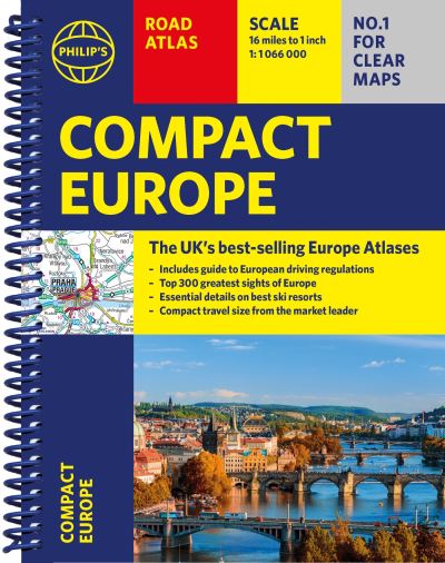
Philip's compact atlas Europe
Spiral bound
€15.59
Collect 46 Reward Points
- Free Delivery from
- This Book Is Available Online Only
- Book Synopsis
- Coming from the market leader in European mapping, this compact spiral edition gives more to leisure travellers with its unique factfinder of key statistics, currency, driving regs and speed limits for each country. Packed with details of facilities at major ski resorts and top visitor attractions, country by country, with clear route-planning maps, which enable journeys of over 800 miles to be planned without turning a page. Along with detailed road maps, there are car ferries, toll-free and pre-pay motorways, all clearly marked. The continental road network is shown at four different scales from 1:250 000 to 1:4 500 000, with ultra-clear detailed mapping. Scenic routes are highlighted, and the maps show numerous places to visit including beaches, theme parks, national parks and World Heritage Sites
- About The Author
- Philip's has been at the forefront of creating maps and atlases since 1834. Whether a local street map or a fact-packed World Atlas, we use the most up-to-date technology, expertise and our global network to ensure our customers have all the information they need.
- Product Details
-
- ISBN
- 9781849076487
- Format
- Spiral bound
- Publisher
- Philip's, (06 April 2023)
- Number of Pages
- 288
- Weight
- 440 grams
- Language
- English
- Dimensions
- 214 x 156 x 16 mm
- Series:
- See all books in this series
- Categories: