Currently Out Of Stock
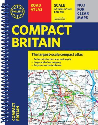
Philip's compact Britain road atlas
Spiral bound
€13.19
Collect 39 Reward Points
- Currently Out Of Stock
- Book Synopsis
- Newly updated in a handy spiral-bound lie-flat format, Philip's Compact Britain Road Atlas features the super-clear digital cartography, which was voted Britain's clearest and most detailed mapping in an independent consumer survey. All of Great Britain in a super-clear set of maps specially created to fit in a glovebox, bag, backpack or motorcycle tank bag, with resilient lie-flat binding to ensure you have the detail you need and never get lost. A route planning section will help you navigate around the island easily and every part of Britain is clearly mapped. - Chunky 'glovebox' format - perfect for the car or backpack - Lie-flat spiral binding and A5 size - ideal for a motorcycle tank bag - Completely updated and revised with the latest information - Compact and great value for money - The clearest, most detailed road maps in a compact format - Complete coverage of Great Britain at 3.3 miles to 1 inch - Includes a 6-page route-planning section - Spiral binding for robust, long-lasting use
- About The Author
- Philip's has been at the forefront of creating maps and atlases since 1834. Whether a local street map or a fact-packed World Atlas, we use the most up-to-date technology, expertise and our global network to ensure our customers have all the information they need.
- Product Details
-
- ISBN
- 9781849077200
- Format
- Spiral bound
- Publisher
- Philip's, (01 May 2025)
- Number of Pages
- 352
- Weight
- 531 grams
- Language
- English
- Dimensions
- 212 x 172 x 20 mm
- Series:
- See all books in this series
- Categories: